
اطلس منظر؛ سند شناسایی، توصیف و ارزیابی منظر - دانشکده معماری arch
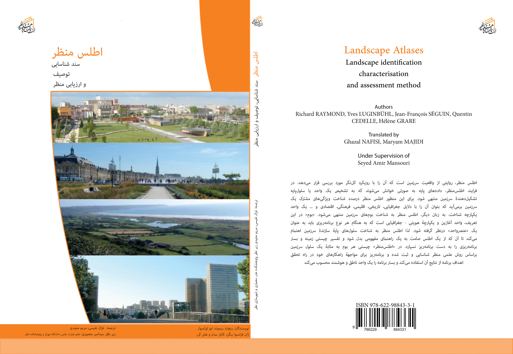
Landscape Atlases: Landscape Identification Characterisation and Assessment Method
Authors: Seyed Amir Mansouri - Maryam Majidi - Ghazal Nafisi
Publisher: NAZAR Research Center of Art, Architecture & Urbanism
Publisher: NAZAR Research Center of Art, Architecture & Urbanism
Description
Landscape Atlases: Basic data is read in a way that leads to the identification of a unit or basic cell that constitutes the territory. For this purpose, the landscape atlas seeks to identify the common characteristics of a territory so that it can be recognized as a unified unit for geographical, historical, climatic, cultural, economic, etc. reasons. The book "Landscape Atlases" is a guide to the preparation of documents intended for the European Union in four chapters with basic topics and has been prepared as a common agenda for the member states of the Union. The translation of the book at the Nazar Research Institute was carried out by Dr. Seyed Amir Mansouri, Associate Professor of the Department of Landscape Architecture at the University of Tehran, Dr. Maryam Majidi, a member of the Nazar Research Institute's faculty, and Engineer Ghazal Nafisi, which was published in 2021 by Nazar Art, Architecture and Urban Planning Publications. The purpose of this action is to develop basic knowledge related to planning and to familiarize Iranian specialists with new achievements in this field in the world.
Chapter 1: What is a Landscape Atlas?
Chapter 2: Organization for Landscape Atlas Production
Chapter 3: Production or Update of Landscape Atlas
Chapter 4: Distribution and Exploitation of the Knowledge Obtained
Chapter 1: What is a Landscape Atlas?
Chapter 2: Organization for Landscape Atlas Production
Chapter 3: Production or Update of Landscape Atlas
Chapter 4: Distribution and Exploitation of the Knowledge Obtained